 English
 Français
 Español
 हिन्दी
 中文
中文Satellite images provided by Chinese authorities have shed light on the causes of the Bhotekoshi flood. The data indicates that a blockage formed approximately 20 kilometres upstream of the Miteri Bridge. This blockage was likely caused by an ice avalanche that created a temporary debris lake. Eventually, the accumulated water breached the natural dam, leading to a sudden and violent surge. This wall of water swept downstream, causing significant destruction in its path. The imagery confirms the specific location and mechanism of the disaster. Researchers are using this evidence to better understand the trigger of the flood.
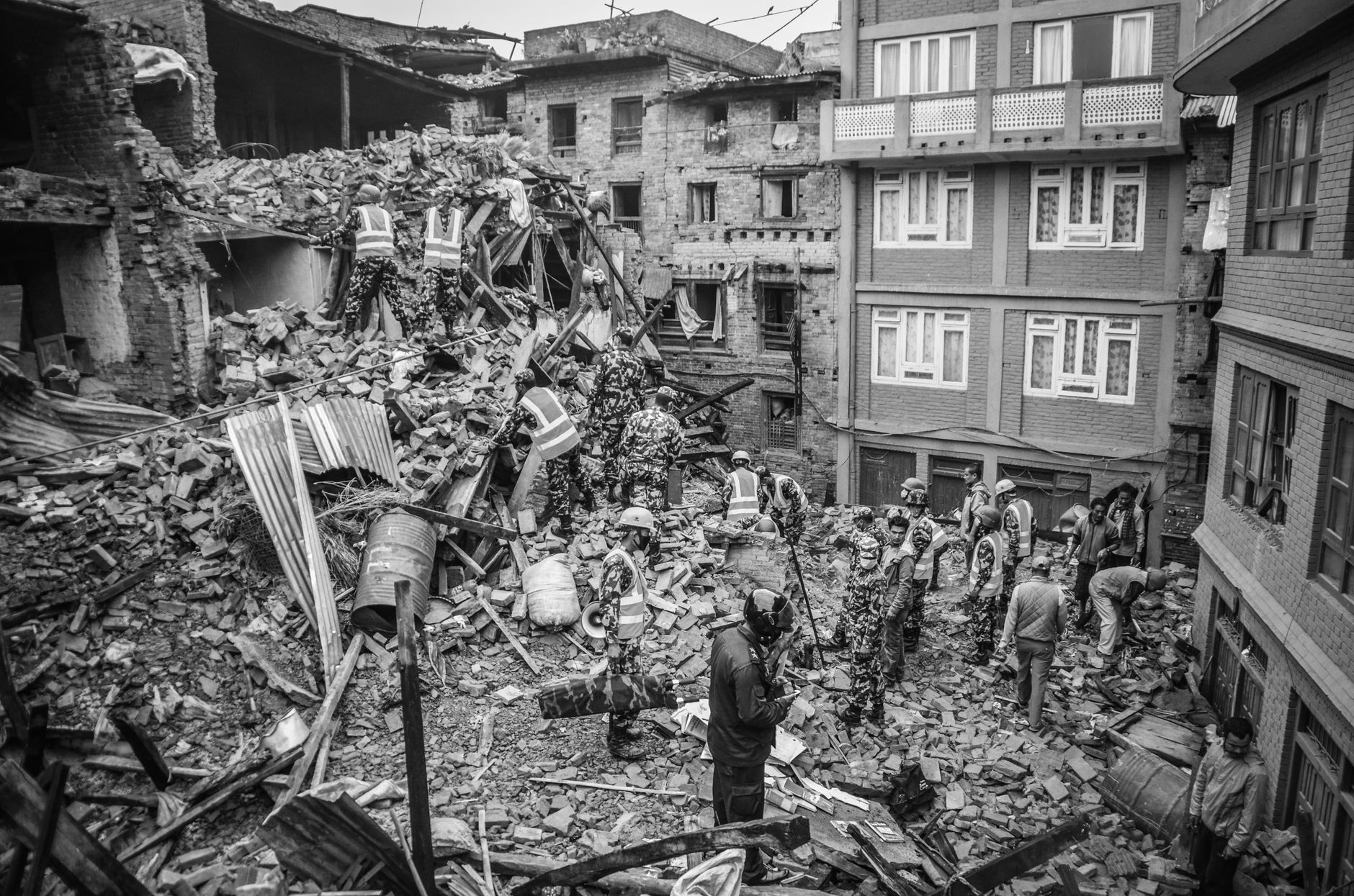
Satellite Imagery Suggests Ice Avalanche and Debris Lake Triggered Bhotekoshi Flood
 Nepal
The Himalayan Times
August 26, 2026 at 17:11
Nepal
The Himalayan Times
August 26, 2026 at 17:11
🌐 This article was automatically translated from English.