 English
 Français
 Español
 हिन्दी
 中文
中文The United Nations has adopted a non-binding resolution supporting the Equal Earth Projection map. This new map aims to provide a more accurate depiction of the sizes of Earth’s landmasses compared to the commonly used Mercator projection, which distorts areas, particularly those far from the equator. Cartographers explain that the Equal Earth Projection better reflects the true relative sizes of countries and continents. The resolution’s adoption signifies a move towards more equitable geographical representations on a global scale. While not mandatory, the UN’s endorsement encourages its use in official materials and educational resources. Advocates believe this change can help correct historical biases in how the world is visualized and understood, specifically addressing the underrepresentation of Africa.
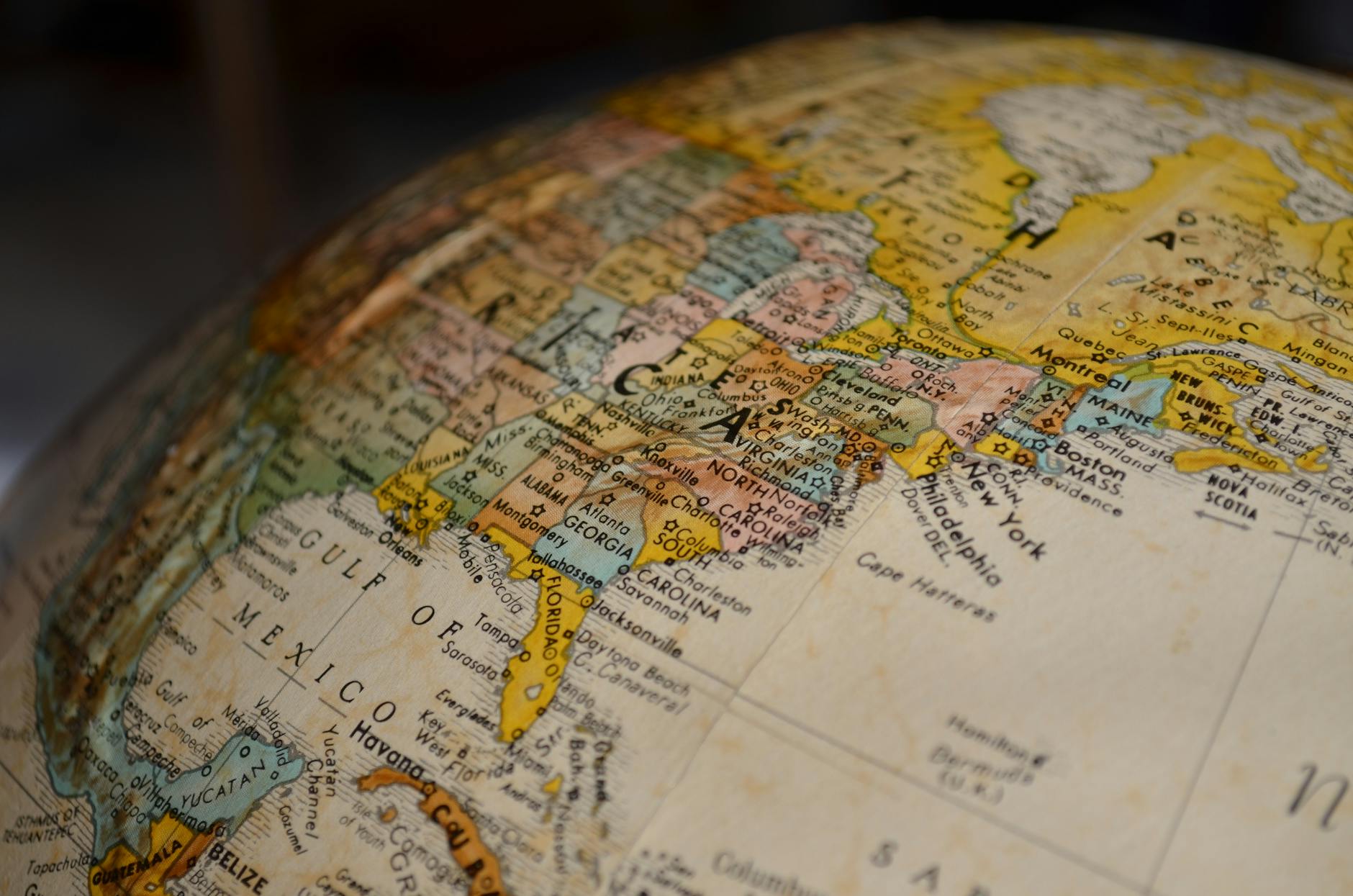
UN Endorses Equal Earth Projection Map for More Accurate Land Representation
 South Africa
Daily Maverick
September 29, 2026 at 13:12
South Africa
Daily Maverick
September 29, 2026 at 13:12
🌐 This article was automatically translated from English.