 English
 Français
 Español
 हिन्दी
 中文
中文Water levels in the eastern Netherlands are critically low, creating uncertainty for shipping on the IJssel, Nederrijn, and much of the Waal rivers. Rijkswaterstaat, the Dutch public works department, reports difficulty in accurately measuring safe depths for navigation, leaving it to individual skippers to determine if passage is possible. The Pannerdensch Kanaal is also affected, with depths in some areas falling below 125 centimeters, preventing measurement vessels from operating. Accurate determination of the minimum navigable depth – crucial for calculating safe cargo loads – is compromised. While commercial data subscriptions are available, not all shippers have access to this information. Industry representatives express serious concern over the ongoing situation, noting broader transport pressures and uncertainties about further water level declines, following record low flows on the Rhine at Lobith in August. Current Rhine flow near Lobith remains critically low at approximately 545 cubic meters per second.
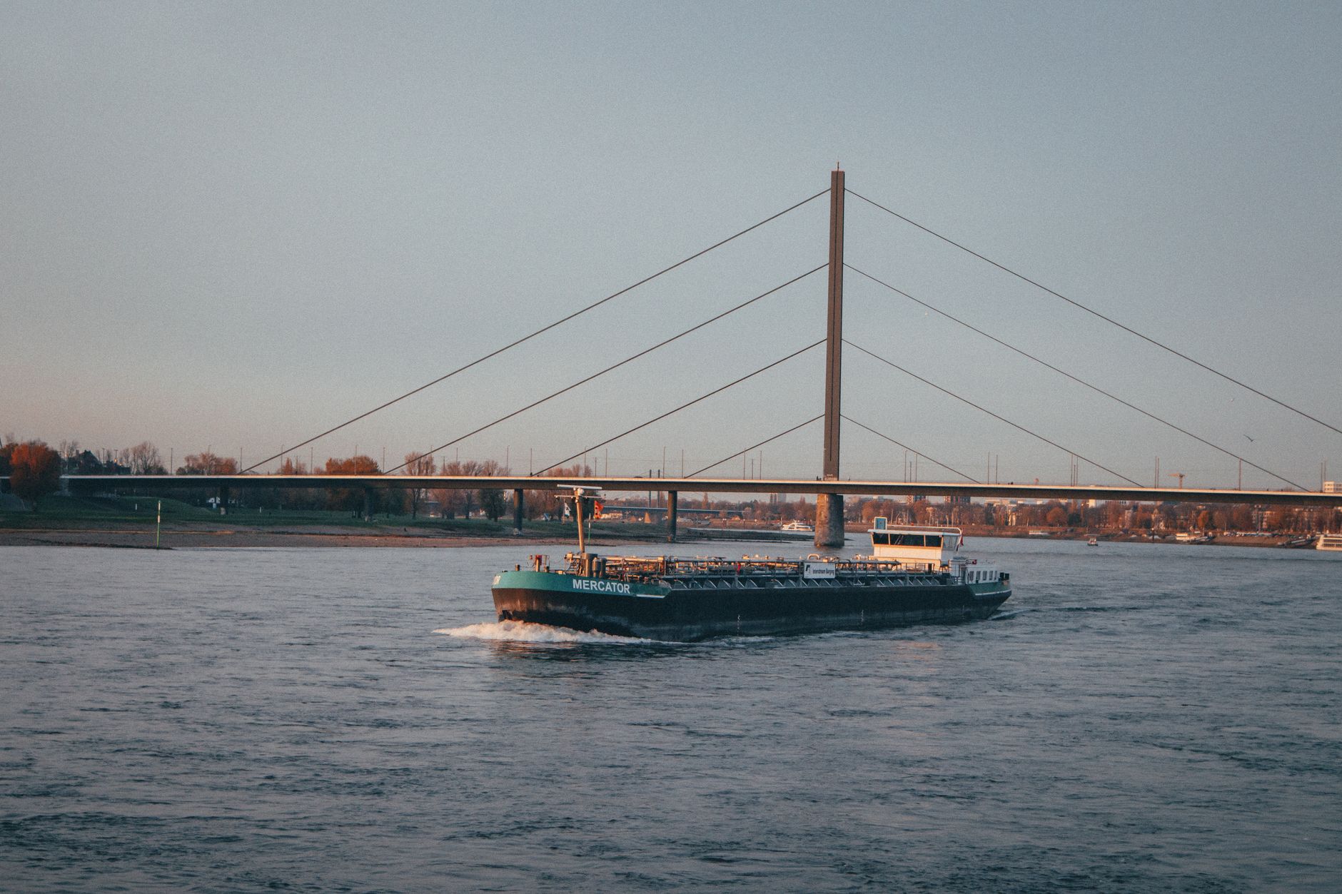
Low River Levels in Netherlands Force Skippers to Assess Navigability
 Netherlands
NOS
October 1, 2026 at 18:02
Netherlands
NOS
October 1, 2026 at 18:02
🌐 This article was automatically translated from Dutch.