 English
 Français
 Español
 हिन्दी
 中文
中文The new Sentinel-3C satellite has transmitted its first impressive images of Earth. These initial visuals showcase detailed views of Italy, the Arctic, and the Caribbean. The European Space Agency (ESA) released the images, highlighting the satellite’s capabilities for monitoring environmental changes. Data collected by Sentinel-3C will be crucial for tracking sea levels, ocean color, and land vegetation. The satellite is part of the Copernicus program, a European initiative dedicated to Earth observation. These first images demonstrate the satellite’s successful commissioning and its readiness for operational use, providing valuable data for scientists and policymakers. The imagery promises advancements in understanding and responding to global environmental challenges across locations like Italy, the Arctic, and the Caribbean.
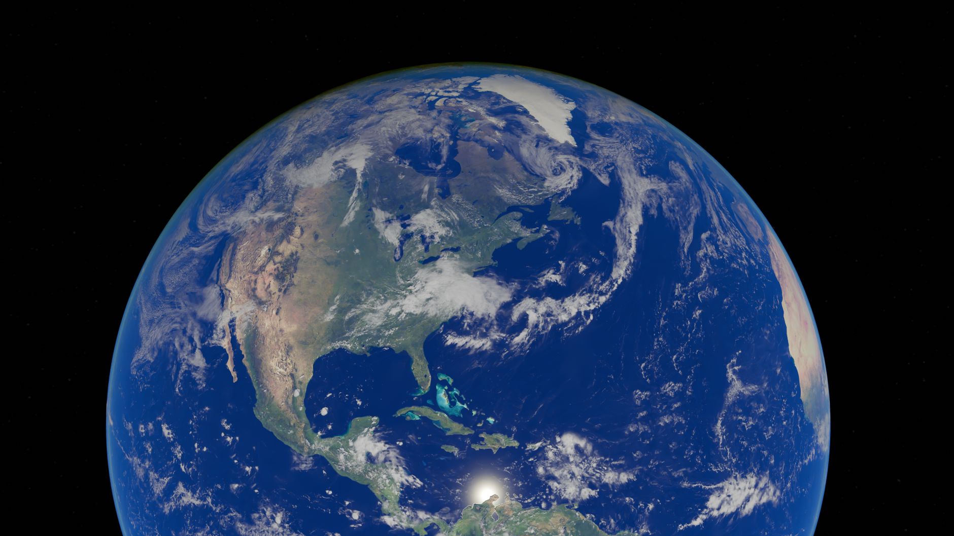
First Stunning Earth Images Released by New Sentinel-3C Satellite
 Greece
Proto Thema
October 8, 2026 at 15:02
Greece
Proto Thema
October 8, 2026 at 15:02
🌐 This article was automatically translated from Greek.